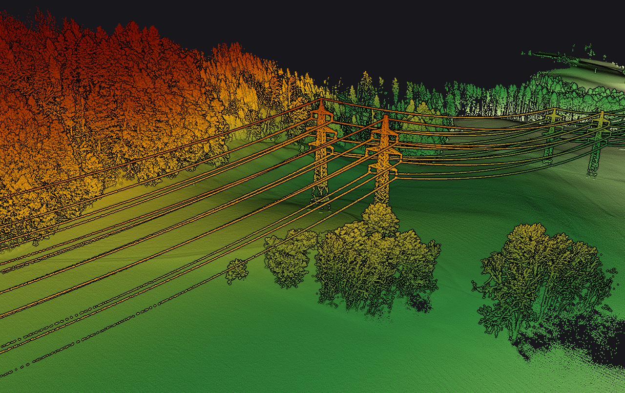
Lidar
At Affinicom, we specialise in advanced LiDAR data extraction to support precise and obstacle-free telecom infrastructure planning. When LiDAR-equipped data collection vehicles capture high-resolution spatial information along a project route, our team processes and interprets that data to extract all relevant features—including existing utilities, structures, vegetation, terrain variations, and more.
Using powerful tools like QGIS, we transform this raw LiDAR data into accurate, layered geospatial maps that offer a clear, comprehensive view of the physical environment. Each identified asset—such as manholes, poles, pipelines, buildings, or street furniture—is carefully marked and categorised to ensure no existing element is missed or overlooked during the planning and design stages.
This meticulous process allows us to:
Deliver highly detailed visual references for engineers and field teams
Avoid conflicts with existing utilities during trenching or conduit placement
Enhance decision-making for fiber routing, equipment positioning, and network expansion
Streamline permit approvals by providing accurate as-built and pre-construction layouts
With Affinicom’s LiDAR extraction and mapping services, clients gain a data-rich, obstacle-aware foundation for designing and executing telecom projects with precision, safety, and efficiency.